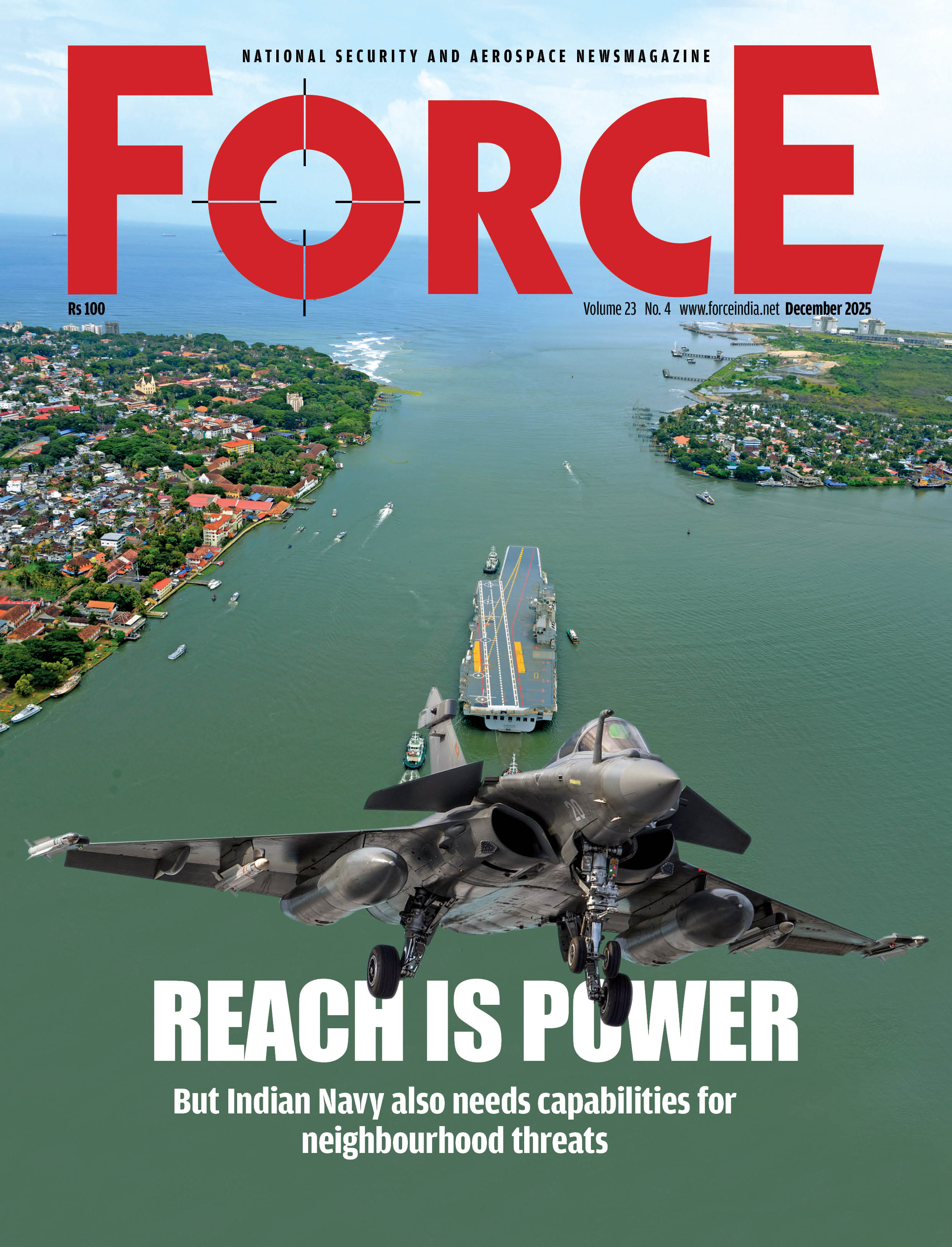
First Person | One Nation, Many Challenges
 Ghazala Wahab
A year ago, while inaugurating an administrative block (named Chola after the medieval South Indian dynasty) at the Naval War College in Goa, defence minister Rajnath Singh said, “We were once known as a ‘landlocked country with sea shores’, but now we can be seen as an ‘island country with land borders’.” This interesting turn of phrase fascinated him so much that he repeated the same line while addressing the Naval Commanders’ Conference in September last year.
More recently, some academic analysts with the job of expounding upon the government’s foreign policy, have also started explaining why India has historically been a ‘maritime nation’ and its only because of the land border disputes with Pakistan and China that it acquired a land-oriented perspective, thereby ‘severely constraining’ its policymaking, especially in the realm of diplomacy.
The Indian Navy has been asserting this for over two decades, primarily to get a relatively bigger share in the defence budget. Since India’s total land border is 15,106.7 km and the coastline half of it at 7,516.6 km, one of the arguments that the navy has made is tha
Subscribe To Force
Fuel Fearless Journalism with Your Yearly Subscription
SUBSCRIBE NOW
We don’t tell you how to do your job…
But we put the environment in which you do your job in perspective, so that when you step out you do so with the complete picture.


